
River-Forest – Tree Fern Gully to Johnson’s Farm Bend Section
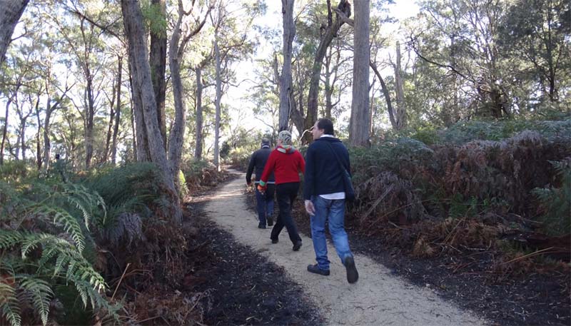
The River-Forest is a 4.68 km long and passes through a variety of landscapes such as tidal flats, river reserve and forests. Points of interest include the water supply interpretation and regeneration activities. Medium level of difficulty.
The walk can begin either at the road bridge on Main Street near the entrance to the town or at the corner of Maxwell Street and Sandy Point Road. A third shorter segment can be taken in either direction at the Elizabeth Street entry point. This area is now a river or riparian reserve. In Tasmania, these reserves were created to provide public access to water courses and protect native flora.
Maintaining river reserves, their plants and animals, benefits the local community and visitors to the state. Riparian re-vegetation practices assist with the stabilisation of river banks, maintenance of water quality and flows, habitat for aquatic species, and encourage biodiversity. Areas along the banks of the Brid River are in various stages of regeneration and reclaimed land is being returned to its natural state.

River-Forest, Mt Arthur View-Johnson’s Farm Bend
The striking footbridge crosses the Brid River at canopy height and a well-crafted flight of stone steps takes you above a water race. This is evidence of the industrial heritage that is the Bridport Water Supply. This was installed and opened by the Scottsdale Council in the late 1930s. Enjoy a rest and meditative reflection at the Settling Pond, and then continue on the track to an observation point and Living Heritage Interpretation site above the weir.
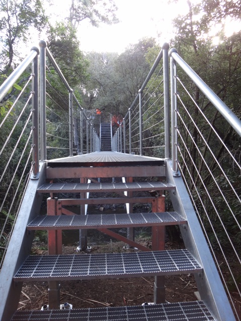
Striking Footbridge
While walking in this area you may see one of the resident platypuses that call this tract of river home. The walk now traverses a fragile wetlands area with an elevated rock path before climbing a short steep path through native bush land. You will cross the top of Elizabeth Street where you may exit to explore the town or continue on this walking track.
The environment changes again as you traverse bushland via a community of tree ferns
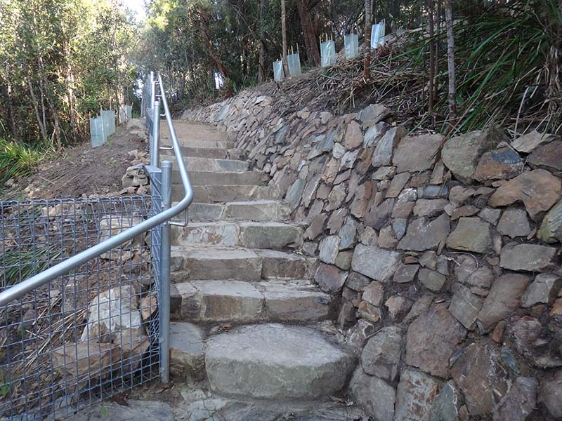
Rock steps above footbridge, Bridport Walking Track
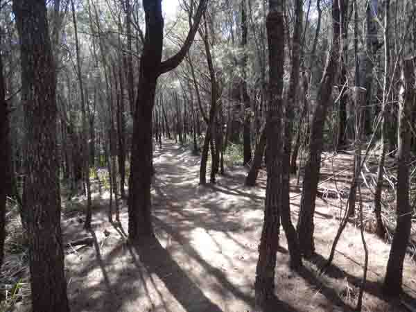
Dicksonia antarctica Spiky Ferns Cyathea australis at Tree Fern Gully. The walk continues through distinct dry sclerophyll forest with tall black peppermint (Eucalyptus amygdalina) as the dominant overstory species and significant to Aboriginal culture. Be sure to catch glimpses of farmland and the hinterland with Mt Arthur and Mt Barrow in the distance.
This long section of track is rich in bird song. Listen and watch for sea eagles, yellow- tailed black cockatoo and Eastern Spinebill among some of the many birds in this area. When you reach the top of this section of the track you will find another change in environment to a she-oak forest rich in Aboriginal heritage.
Sheoak Forest
The she-oak forests are remarkably quiet as their fallen leaves create a soft cushioning mat. You are now walking parallel to Maxwell Street finishing at Main Street. Here you can exit or cross the road onto the next section of the Bridport Circuit and continue on the Wild Flower Reserve track. The River–Forest walk was completed and opened in July 2011. It is the culmination of a vision to complete the walking track circuit around Bridport. It links the foreshore, beaches, the wild flower reserve, grasslands, ancient forests and the Brid River creating a single accessible yet unique walking experience.
Bridport Innovations Inc., successfully secured funding for the construction of the River–Forest walk from the Federal and State Government, Dorset Council and Dorset NRM, and NRM North, Bridport Innovations Incorporated contracted Conservation Volunteers Australia to manage the track construction as a training scheme.
You will find more details about the amazing things you will discover on this walk when you click on the following links: